Monitor and Validate
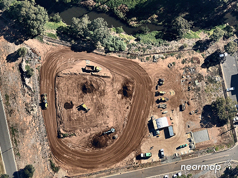
Nearmap allows you to effectively monitor projects to ensure they are on track and validate dat...
Nearmap allows you to effectively monitor projects to ensure they are on track and validate dat...
Communicate effectively to colleagues or customers with high-quality imagery and relevant informatio...
Nearmap allows you to find sites that are fit for your products and services quickly and with confid...
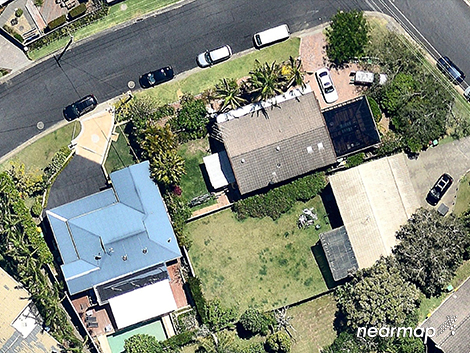
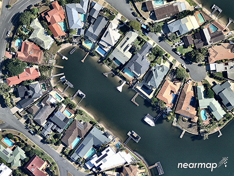
Create detailed plans by accessing more vivid and recent information about your location of interest...
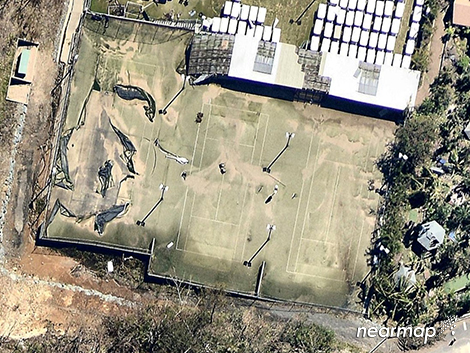
Reduce the amount of time it takes to prepare quotes and estimates quickly and with confidence.
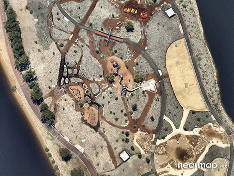
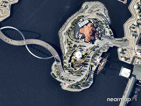
State-of-the-art aerial technology has proven an invaluable tool in the expansion and management of...
Explore leading supplier brands in this category.
Nearmap allows you to find sites that are fit for your products and services quickly and with confid...
Turn travel time back into productive work time and save money. With Nearmap you...
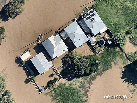
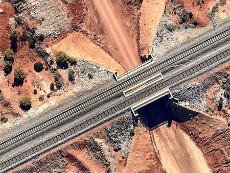
Assess risk by having access to current and historic high-quality visuals and estimation tools. When...
Communicate effectively to colleagues or customers with high-quality imagery and relevant informatio...
Create detailed plans by accessing more vivid and recent information about your location of interest...
Reduce the amount of time it takes to prepare quotes and estimates quickly and with confidence.

Professionals use landscape CAD to make the most of their time and improve communication. This new w...

INTERVIEW EXTRACT A recent interview with Nigel Varley, Managing Director of CAD International, rev...

The magic of LANDWorksCAD lies in the details. Say goodbye to complexity. LANDWorksCAD boasts an in...

Gone are the days of relying solely on pen and paper; today, landscape architects and designers harn...

Current technology has elevated rendering from an industry once reserved only for computer geeks to...

The popularity of LANDWorksCAD has seen it widely used all over the world, with its success often at...