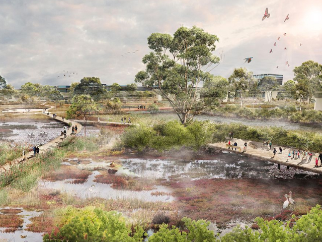
Image by McGregor Coxall
The plan has been conceptualised by The City of Melbourne for the creek that lies between some of Melbourne’s fastest developing areas. In addition to being surrounded by Arden and Macaulay, Dynon and E-Gate urban renewal precincts, the West Gate Tunnel project will pass beneath the water body.
Lead consultants McGregor Coxall, and water, energy and environmental design consultants Wave Consulting provided a supporting technical report for the project, which re-examines the city’s “relationship and perception of water”.
“The plan looks at how we accept inherent challenges such as flooding, to transform the creek into a more resilient and sustainable corridor through alternative land use, catchment-wide collaborative governance and dynamic design solutions.” 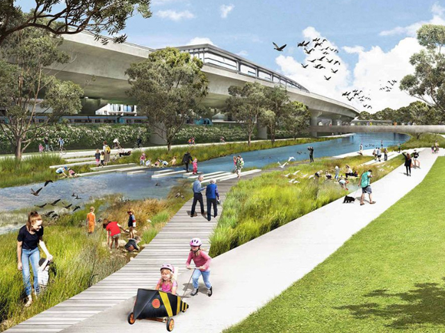
Image by City of Melbourne
The plan is a much-needed catalyst for the preparation of the arrival of thousands of new residents with the extensive developments taking place.
“The lower reaches of Moonee Ponds Creek are set to become some of the most intensely developed parts of Greater Melbourne,” said Cathy Oke, chair of the council’s environment portfolio. “We’re considering this plan as an advocacy tool to reconnect the community to this vital waterway. The plan outlines ideas for increased biodiversity, mitigating the impacts of flooding, creating new bike paths and more space for recreation.
“Moonee Ponds Creek has been negatively impacted over many years by industry and infrastructure. This plan sets a vision to rehabilitate the creek and advocate for the delivery of a series of projects to increase its ecological, economic and recreational value.” 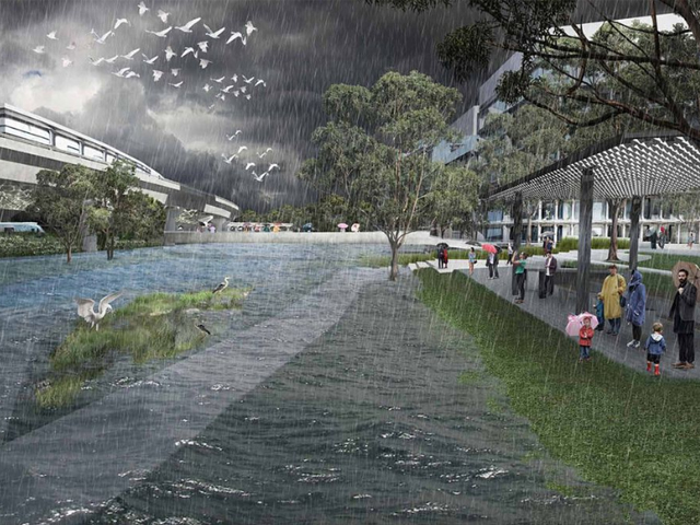
Image by City of Melbourne
A key part of the plan will be the ‘Macaulay Terraces’, an exciting new public space that sits between Macaulay train station the Moonee Ponds Creek. It will be both a public park and a flood resiliency system, as the terraced landscape would capture the stormwater runoff from the streets and cleanse it before it enters the creek.
In addition to the terraces, revitalisation projects will rejuvenate sections of the creek to a natural, flood-resistant form. The concrete channel in the Travancore Park section of the creek would be removed and a chain of pongs with wetlands and native plants would help to naturalise the creek.
“[The creek] plays an important role in working with the Victorian Government partners, landowners, neighbouring councils and community groups to ensure that Moonee Ponds Creek meets the needs of both the current and future community,” stated Council. 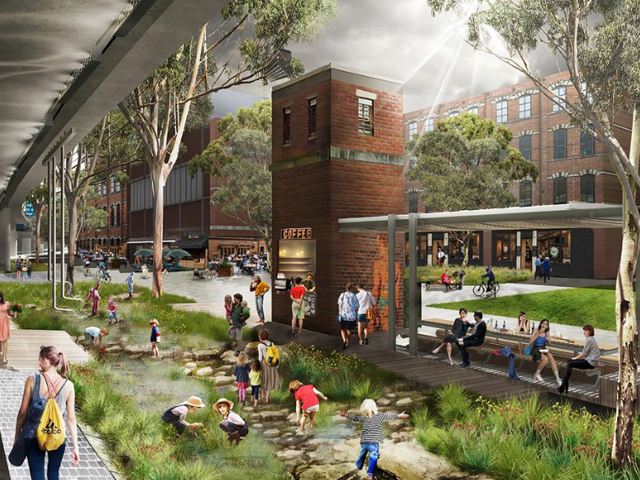
Image by McGregor Coxall